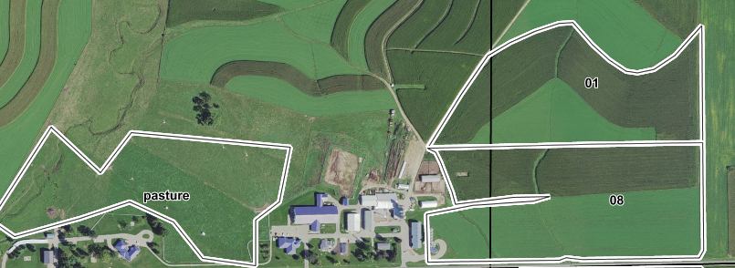
Fields in SnapMaps are defined by a polygon. This boundary is then used to calculate most of the required information used in SnapPlus.
»Click here to display Table of Contents«
Fields in SnapMaps are defined by a polygon. This boundary is then used to calculate most of the required information used in SnapPlus.